Scope
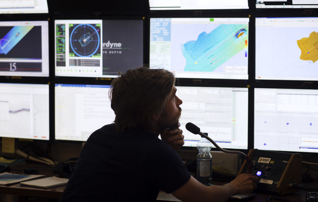
MMT were contracted by NeuConnect to conduct a geophysical and geotechnical survey for a proposed electricity interconnector between the Isle of Grain, Kent, UK and Hooksiel, Germany. The mission was to acquire and interpret high quality seabed and sub-seabed data for project planning and execution.
Critical challenges
Large and complex project with an extensive scope, covering several types of surveys.
Solution/Method
This project entailed a geophysical and geotechnical subsea survey with laboratory analysis for the entire route as well as additional ground truthing grab samples. Topographic surveys of the landfall areas and infrastructure crossing surveys were also carried out. In correspondence to its complexity, this project was staffed considering each person’s specific competence. Continuity with regards to the personnel planning, along with a strong client-contractor relationship ensured a high quality delivery.
Deliverables
The deliverables included, amongst other things, bathymetric soundings, seabed imagery and interpreted surficial and sub-seabed geology along the survey corridor. All results were presented in composite charts, comprehensive reports and GIS databases.