Scope
MMT was contracted by Seagreen to perform a 2D ultra-high resolution seismic geophysical survey for the benefit of wind turbine generator foundations concept design.
Critical challanges
Due to the sound sensitivity in 2D seismic surveys, the noise from the survey vessel was disruptive and the constant challenge was to minimize vessel noise levels.
A variation of equipment towed behind the vessel, increasing the risk of entanglement.
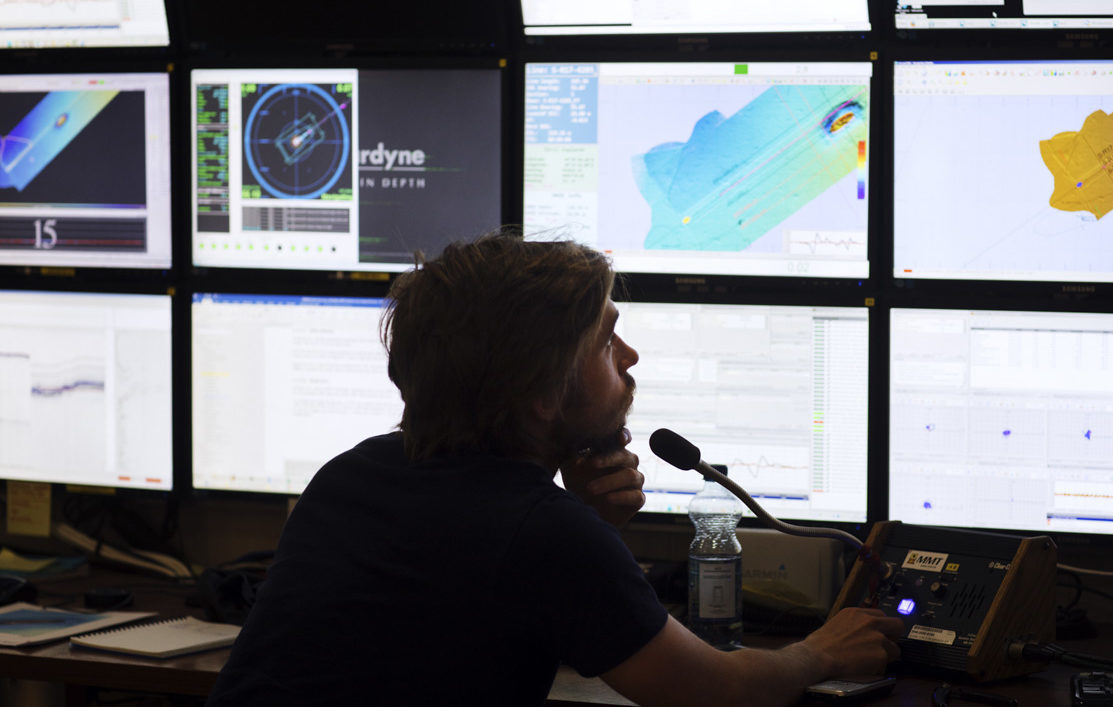
Solution/Method
Hull-mounted multibeam echo sounder (MBES) in conjunction with combined dual-frequency side scan sonar (SSS) and chirp sub-bottom profiler (SBP) installed on an Edgetech 2000-CSS towfish. Geometrics G-882 magnetometer ‘piggy backed’ behind the towfish. 2D Ultra High Resolution Seismic (UHRS) survey using a GeoSpark 400 multi-channel Sparker for enhanced penetration in coarse sediments. All geophysical instruments were run simultaneously.
Deliverables
The deliverables included, amongst other things, bathymetric soundings, seabed imagery and interpreted geology, including sub-seabed models in cooperation with 2D UHRS specialists. All results were presented in charts, comprehensive reports and GIS databases.