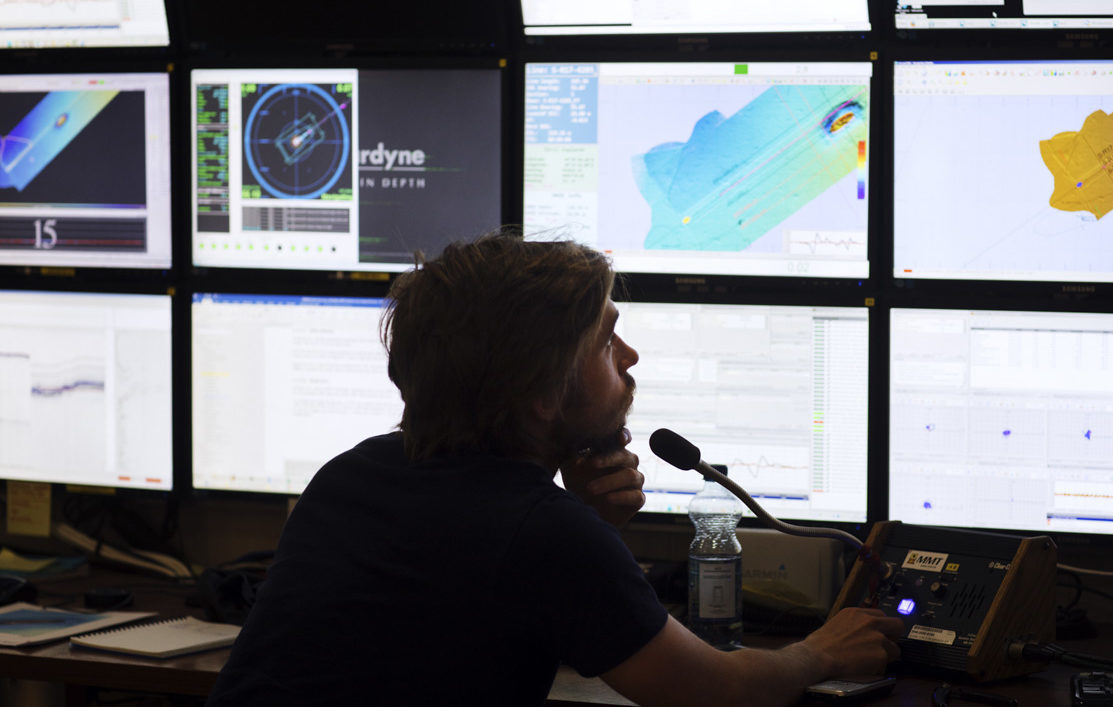
Site surveys is performed in the initial phase for rigs, wells or wind farm areas. The surveys are performed by towed equipment, SROVs or AUVs. MMT offers high resolution geophysical, geotechnical and environmental data acquisition. The data is used to mitigate risk and secure the conditions for installation, by localising geohazards, creating environmental base lines and detailing the seabed conditions.
MMT offers reconnaissance and detailed route surveys, including geophysical, geotechnical and environmental data acquisition. In addition, we also conduct underwater UXO detection using magnetic systems and ROV inspections. The surveys are designed to facilitate the planning and installation of power cables, fibre optic cables and pipelines.
MMT offers high-resolution pre lay surveys (including geophysical, geotechnical and video inspections), verifying the seabed conditions prior to pipeline and cable installations. The post lay surveys that MMT offers verify the position and condition of a pipeline or cable through video footage and high-resolution bathymetric data as well as depth of burial assessments with pipe/cable trackers.
To monitor the touchdown point during pipelay is an important part of the construction work. MMT offers high precision touchdown monitoring services with ROV during construction, to ensure an accurate position and integrity of the pipe close to the touchdown point.
MMT offers high resolution pipeline and structure inspections. Methods vary and are defined by our clients need. We are integrating our survey techniques to include photogrammetry and still images at high speeds to further improve the value of our data.


